
There are five Community Fire Refuges in Victoria. If one of these refuges are located in the polygon or within a 3km radius of the polygon you will have the option to activate the refuge within the Locations section of the community notification workflow.
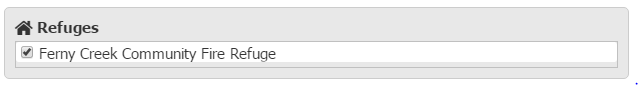
Community Fire Refuges should be activated in accordance with agency business rules. The option to activate refuges will only be available for fire templates at a watch & act and above warning level. You can find information on activating Community Fire Refuges for multiple area polygons here.
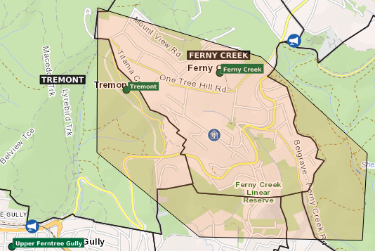
The refuge will appear as a blue house icon on the map.
You should check that the Refuge has been activated using the ONeClick application (found at ICCs and the SCC). You can find step by step instructions on checking the status of a Refuge in the Library - Incident Control (ICC) - Procedures - Community Fire Refuges (ICC.03).
If the refuge has not activated then you will need to immediately call the State Control Centre and speak to SCC Support or the SCC Room Manager about using the redundancy EAS paging system to activate the refuge.
Location of Community Fire Refuges:
East Warburton Community Fire Refuge - 397 Woods Point Road, East Warburton
Ferny Creek Community Fire Refuge - School Road, Ferny Creek
Millgrove Community Fire Refuge - 3060 Warburton Highway, Millgrove
Blackwood Community Fire Refuge - 2 Terrill Street, Blackwood
Lavers Hill Community Fire Refuge - 8-14 Lavers Hill-Cobden Road, Lavers Hill
Comments
0 comments
Article is closed for comments.